In the Field
Talk through what you see. The rest handles itself.
You're in the field with no signal, no time, and observations that matter. PropelMapper captures everything by voice, by photo, by GPS and structures it automatically.
Audio Briefings
Request a prep note before any visit and PropelMapper pulls together everything it knows about that location. Past observations, open issues, seasonal patterns.
Also included
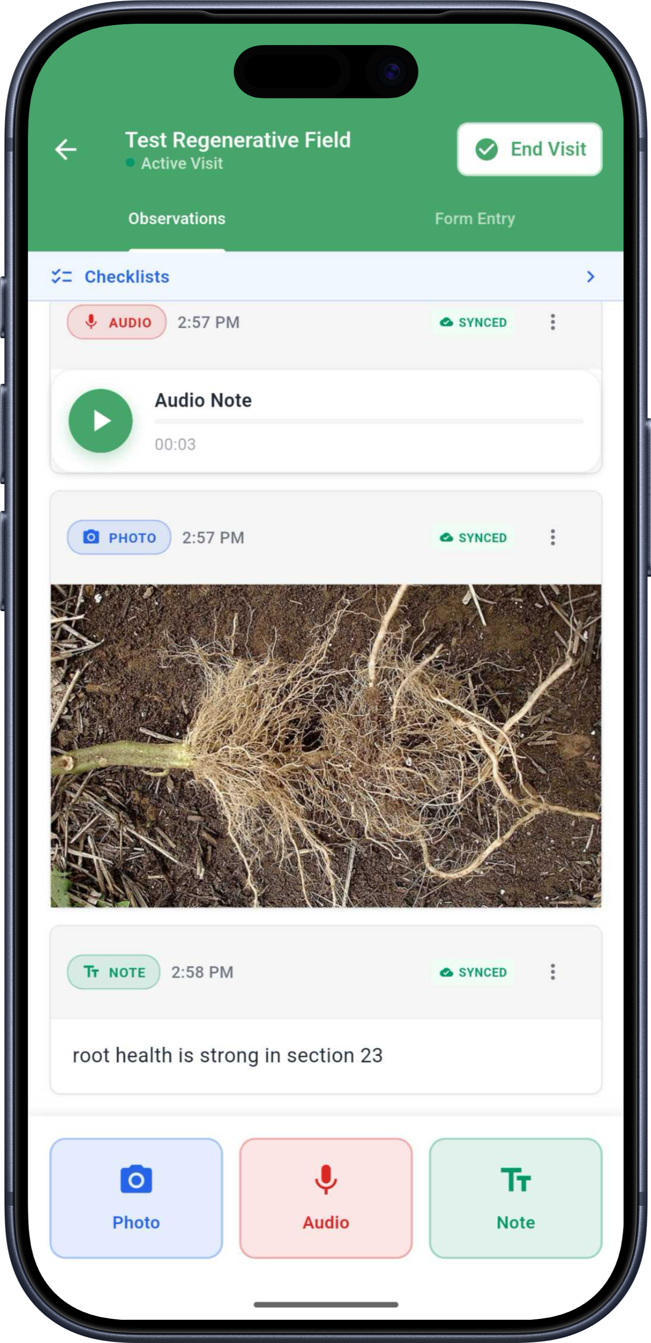
Voice field notes
Talk through your observations in the field. PropelMapper transcribes, structures, and stores them tagged to the exact location. Everything syncs automatically.
Documents, without the data entry
Upload forms, PDFs, or photos of handwritten notes. Values are extracted automatically.
GPS-tagged, always
Every note, photo, and observation is tied to where it happened. Geography is context.
A map built for the field
A touch-optimized map built for field use, not a shrunken version of the desktop.